Maps
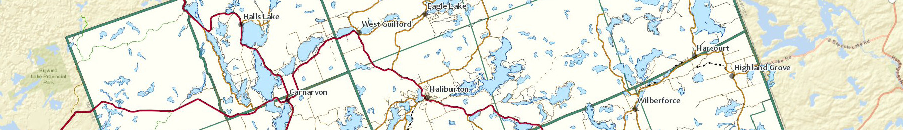
The County has a number of mapping tools available to help residents, visitors, and business owners find and access information.
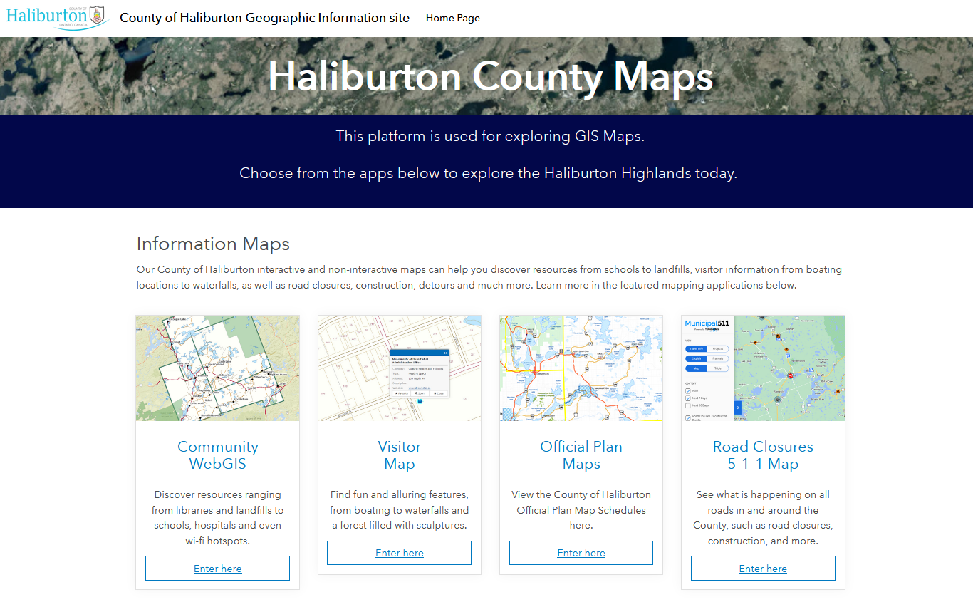
Here's where you can discover and explore the County of Haliburton through the use of our online Geographic Information System (GIS) Maps!
Interactive Maps
Community Map |
Use our interactive Community GIS Map to discover information on public locations and resources ranging from libraries and landfills to schools, hospitals and even trails and wi-fi hotspots! |
Visitor Information Map |
Designed for visitors to the Haliburton Highlands, the Visitor Information Map will help you find fun and alluring features throughout the County. From boating to waterfalls and a forest filled with sculptures, this is the place to begin your Haliburton Highlands Adventure! |
Interactive Road Closure Map |
The Municipal 511 Map provides information on road closures, detours, construction, floods, traffic and other road details. |
Help
This GIS Help page has information on a wide variety of GIS tools to help you use our interactive GIS maps. If you require additional help, please email our GIS department.